Satellite meteorology, also known as meteorological satellite systems or remote sensing of the atmosphere, is a branch of meteorology that involves the use of artificial satellites to observe and monitor the Earth’s atmosphere, weather, and climate. These satellites are equipped with various instruments and sensors that collect data and imagery from space. This information is crucial for weather forecasting, climate monitoring, and environmental research. Here are some key aspects of satellite meteorology:
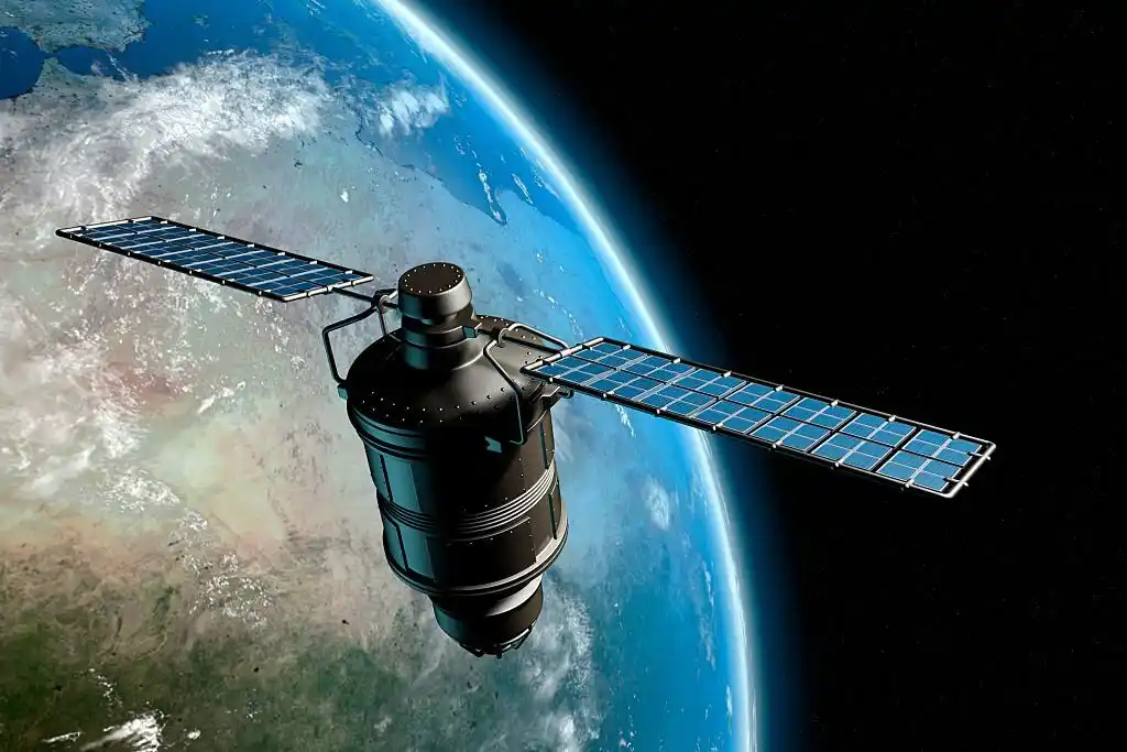
- Types of Satellites:
- Geostationary Satellites: These satellites are positioned in geostationary orbit, approximately 35,786 kilometers (22,236 miles) above the Earth’s equator. They remain fixed relative to a specific point on the Earth’s surface and provide continuous observations of a specific region. Geostationary satellites are commonly used for weather forecasting.
- Polar-Orbiting Satellites: They typically pass over a given location a few times per day, collecting data over a wider area. Polar-orbiting satellites are essential for monitoring climate and collecting data for medium to long-term forecasting.
- Instruments on Board:
- Visible and Infrared Sensors: These sensors capture imagery of the Earth’s surface and atmosphere. Visible sensors provide images in the visible spectrum, while infrared sensors measure temperature patterns and cloud cover.
- Microwave Radiometers: Microwave sensors are used to measure temperature, humidity, and precipitation in the atmosphere.
- Sounders: These instruments measure temperature and moisture profiles in the atmosphere, providing valuable data for weather forecasting.
- Scatterometers: Scatterometers are used to measure ocean surface wind speed and direction, helping in the monitoring of oceanic and atmospheric circulation.
- Imaging Spectrometers: These instruments provide detailed information about the composition of the Earth’s surface, such as vegetation cover, land use, and sea surface temperatures.
- Applications:
- Weather Forecasting: Satellite data is crucial for short-term weather forecasting, including tracking storms, monitoring cloud patterns, and assessing the movement of weather systems.
- Climate Monitoring: Long-term satellite records help scientists track climate change indicators, such as sea surface temperatures, ice cover, and atmospheric carbon dioxide levels.
- Natural Disaster Monitoring: Satellites are used to monitor and respond to natural disasters like hurricanes, typhoons, floods, wildfires, and earthquakes.
- Environmental Research: Satellite data aids in studying air quality, deforestation, and other environmental changes.
- International Collaboration: Various space agencies, including NASA, NOAA (National Oceanic and Atmospheric Administration), ESA (European Space Agency), and others, operate meteorological satellites and share data globally to improve weather forecasting and climate research.
- Data Interpretation: Meteorologists use computer models and data assimilation techniques to integrate satellite data with ground-based observations to create accurate weather forecasts and climate models.
Satellite meteorology has revolutionized our understanding of the Earth’s atmosphere and its role in weather and climate. It plays a crucial role in enhancing our ability to predict and respond to weather-related events, natural disasters, and long-term climate trends.