Geodesy is the science and discipline that deals with the measurement and representation of the Earth’s shape, size, and gravitational field, as well as the study of the Earth’s orientation in space and its variations over time. Geodesy plays a fundamental role in various fields, including cartography, land surveying, navigation, civil engineering, and many aspects of modern life. Here are the key concepts and applications of geodesy:
- Earth’s Shape and Size: Geodesy is concerned with determining the Earth’s size and shape. Historically, it contributed to the understanding that the Earth is an oblate spheroid, slightly flattened at the poles and bulging at the equator.
- Geodetic Datums: Geodesy establishes reference points and systems, known as geodetic datums, which serve as a basis for mapping and positioning. Common geodetic datums include the World Geodetic System (WGS) and the North American Datum (NAD).
- Coordinate Systems: Geodesy defines coordinate systems for accurately specifying the positions of points on the Earth’s surface. Latitude and longitude are two commonly used coordinates for global positioning.
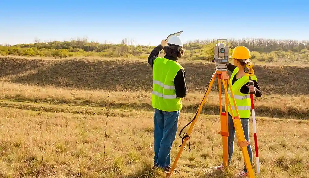
- Triangulation and Trilateration: These are measurement techniques used in geodesy to determine distances and positions of points on the Earth’s surface. Triangulation involves measuring angles between known points, while trilateration measures distances between points using electromagnetic signals.
- Satellite Geodesy: Technologies like the Global Positioning System (GPS) and other global navigation satellite systems (GNSS) rely on the principles of geodesy to provide accurate positioning information. These systems use satellites to determine precise positions on the Earth’s surface.
- Gravity Field and Geoid: Geodesy studies the Earth’s gravitational field and the geoid, which is a hypothetical surface that represents mean sea level when extended beneath the continents. Accurate knowledge of the geoid is crucial for surveying and positioning.
- Deformation Analysis: Geodesy helps monitor and analyze the deformation of the Earth’s surface due to natural processes (e.g., tectonic movements) or human activities (e.g., construction and mining). This information is vital for infrastructure stability and safety.
- Sea Level Measurement: Geodesy is essential for monitoring sea levels and their changes, which are of significant concern due to climate change and its impact on coastal areas.
- Cartography: Geodesy provides the foundation for accurate mapmaking, ensuring that maps are precise and consistent in terms of scale and geographic reference.
- Navigation: Geodesy is crucial for precise navigation, including air, land, and marine navigation. GPS, for example, relies on geodetic principles to provide accurate positioning information.
- Land Surveying: Geodesy plays a central role in land surveying, property boundary determination, and land registration.
- Earthquake and Volcano Monitoring: Monitoring surface deformation with geodetic techniques is important for early warning systems related to earthquakes and volcanic eruptions.
- Global Reference Frames: Geodesy establishes global reference frames, which are used for coordinating positioning data on a global scale. These frames are essential for activities like satellite launches and space exploration.
Geodesy is a multidisciplinary science that combines elements of mathematics, physics, astronomy, and geophysics. It continuously evolves with technological advancements and contributes to our understanding of the Earth’s complex and dynamic geospatial properties. This information is crucial for a wide range of applications, including accurate mapping, navigation, and geospatial analysis.