Geoinformatics, also known as geospatial informatics or geographic information science (GIScience), is a multidisciplinary field that focuses on the acquisition, management, analysis, and visualization of geographical and spatial data. Geoinformatics combines principles from geography, computer science, information technology, and various Earth and environmental sciences to address a wide range of spatial and location-based challenges. Here are some key aspects of geoinformatics:
- Geographic Information Systems (GIS): GIS is a core component of geoinformatics. It involves the creation, storage, analysis, and visualization of geographic data. GIS is used in various applications, including urban planning, natural resource management, transportation, and environmental monitoring.
- Remote Sensing: Remote sensing involves the collection of data about the Earth’s surface from a distance, often using satellites, aerial photography, or other sensors. This data is essential for mapping, monitoring, and analyzing changes in the environment.
- Spatial Data Analysis: Geoinformatics involves advanced techniques for analyzing spatial data, including spatial statistics, spatial modeling, and geostatistics. These methods help extract meaningful patterns and insights from geographic information.
- Geospatial Databases: Geoinformatics deals with the design and management of databases that store geographic data. These databases enable efficient storage and retrieval of spatial information.
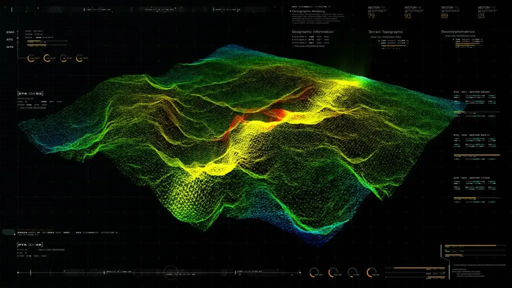
- Cartography: Cartography is the science of mapmaking. Geoinformatics includes the creation of maps, atlases, and other visual representations of spatial data.
- Geospatial Technologies: This field incorporates various technologies, including Global Positioning System (GPS) devices, satellite navigation, and location-based services (LBS), which rely on geographic information.
- Environmental and Earth Sciences: Geoinformatics plays a crucial role in environmental monitoring, natural resource management, climate modeling, and geology. It helps scientists and researchers analyze data to understand environmental changes.
- Urban and Regional Planning: In urban and regional planning, geoinformatics is used to analyze land use, transportation networks, and demographic data to make informed decisions about infrastructure development and urban growth.
- Emergency Management: Geoinformatics is used in disaster response and management. It helps authorities and organizations assess the impact of disasters, plan evacuation routes, and allocate resources effectively.
- Healthcare: Geoinformatics is increasingly used in healthcare for disease mapping, epidemiology, and optimizing the location of healthcare facilities.
- Navigation and Transportation: GPS and GIS technologies are integral to navigation systems, routing applications, and logistics, ensuring efficient transportation and delivery services.
Geoinformatics professionals typically work with specialized software and tools to analyze and visualize spatial data. This field has a wide range of applications across both the public and private sectors and is vital for making informed decisions related to land use, resource management, disaster mitigation, and more.